Vermonters Face Gray, Unsettled Week
Persistent clouds and intermittent showers will keep temperatures in the 40s through midweek, with a potential system bringing cold rain or snow by the weekend.
By Andrew Bennett ·
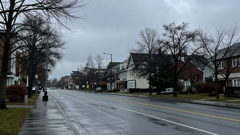
Residents of Burlington and surrounding areas should expect overcast skies and intermittent precipitation for the next several days. Forecasters predict that the heaviest shower activity will occur during the first half of Monday, with sporadic showers possible into the afternoon. High temperatures are expected to range from the 40s to near 50 degrees.
Tuesday will begin with brief sunny intervals before clouds and showers return by afternoon and evening. The total rainfall accumulation for Monday and Tuesday combined is expected to be minimal, likely only a couple of tenths of an inch in most locations. Afternoon highs on Tuesday will remain similar to Monday, hovering in the 40s to just under 50 degrees.
Conditions will remain predominantly cloudy through Wednesday and Thursday. A gradual cooling trend is anticipated during these midweek days. Wednesday high temperatures are projected to settle in the mid to upper 40s, while Thursday highs will drop to the low to mid 40s.
Meteorologists are monitoring a developing coastal system that could affect the region from late in the week into the weekend. This system may introduce periods of rain and snow showers. Current models disagree on how far north the moisture will penetrate.
Peter Kvietkauskas, a local meteorologist, noted that cold showers are likely for much of the area. He indicated that snow is generally expected above 1,000 feet of elevation. The forecast for the weekend remains tentative, with potential changes as the system approaches.