Tesla builds its own maps to fix FSD navigation errors
The automaker is developing a proprietary mapping system powered by its fleet to address persistent issues with speed limit recognition and route selection.
By Rebecca Dawson ·
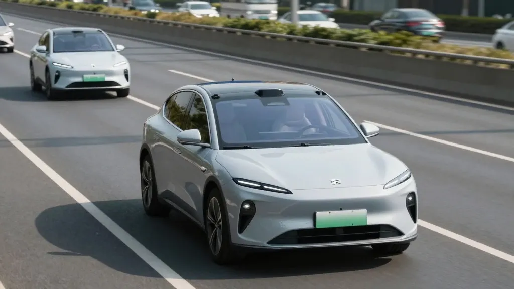
The self-driving landscape has shifted as major players converge on similar technological foundations. Tesla has officially announced it is constructing its own mapping infrastructure to support its Full Self-Driving software, a strategic pivot that addresses long-standing user complaints about the system's ability to interpret road data.
The company’s trajectory on this issue has been inconsistent. When Tesla launched its initial autopilot features in 2015, it stated it was creating high-precision maps with significantly more detail than standard navigation tools. However, by 2019, CEO Elon Musk publicly reversed this stance, describing reliance on detailed maps as a major error that made autonomous systems fragile. During that period, he argued that using cameras and artificial intelligence was superior to the combination of lidar and high-definition maps utilized by competitors like Waymo.
In the third quarter of 2026, Tesla’s Vice President of AI, Ashok Elluswamy, confirmed the new direction during the earnings call. He acknowledged that the company should not rely on external data providers. The new architecture will be built using AI and data collected from Tesla’s existing fleet. This system is designed to learn individual driver preferences and respond to voice commands, starting with the beginning and end of trips in the upcoming FSD v15 release. Over the next several months, the system is expected to assume control of navigation, parking, and destination handling.
This development is particularly relevant given recent safety concerns. A Belgian road safety group reported in September that the FSD system exceeded speed limits in the majority of 30 km/h zones tested in Brussels, often because the vehicle displayed incorrect limit information. In the United States, the National Highway Traffic Safety Administration is currently evaluating reports that Tesla Robotaxis speed through school zones, a review covering approximately 1,000 Model Y and Cybercab vehicles.
Critics note that this new approach mirrors the methodology of Waymo, which maps cities using sensor-equipped vehicles before launching service. While Tesla’s new maps are not the centimeter-accurate high-definition types Musk previously criticized, they serve a similar function by helping the software understand its environment. This aligns with Tesla’s current operational model, which limits its robotaxi service to specific geofenced areas. As the fleet continues to gather data, these maps may become increasingly detailed, further blurring the lines between Tesla’s vision-based approach and traditional mapping strategies.
The move suggests a pragmatic adjustment to the company’s long-term vision. By leveraging its large installed base to build proprietary data, Tesla aims to reduce dependency on third-party providers and improve the reliability of its self-driving features. This strategy could provide a competitive advantage in the autonomous vehicle market, particularly if it resolves the common navigation errors that have plagued the system since its inception.
Source: Electrek