40 to 70 percent fog risk looms over Roswell as cold front approaches
Patchy dense fog could reduce visibility in southeastern New Mexico Tuesday morning, while a weak cold front brings breezy winds and cooler temperatures to the eastern plains by Wednesday.
By Andrew Bennett ·
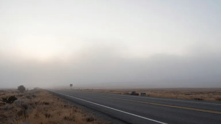
High pressure dominates the Southwest as most of New Mexico remains clear and dry, but a specific hazard targets the lower Pecos River Valley. Meteorologists forecast patchy dense fog could develop late Monday night into Tuesday morning, with visibility dropping locally in and around Roswell.
Forecast guidance indicates a 40 to 70 percent chance of dense fog in the area. The phenomenon is expected to be patchy rather than uniform, meaning drivers in Roswell, the lower Pecos Valley, and the adjacent caprock face rapid shifts in visibility during early morning hours. Light winds and clear skies caused temperatures to fall quickly after sunset Monday, setting the stage for fog formation.
The fog and low clouds are projected to lift by mid-morning Tuesday as temperatures rise and winds become variable. Outside of this southeastern sector, Tuesday remains a quiet day with mostly clear skies, light winds, and no precipitation. Temperatures will sit slightly below normal for this time of November, with overnight lows dropping again Tuesday night.
A weak cold front begins moving into eastern New Mexico from the north and east Tuesday night. By Wednesday, the front pushes south and west across the eastern plains, triggering a wind shift to breezy north and northeast directions. This change brings slightly cooler temperatures, particularly affecting Clayton, Tucumcari, Clovis, Portales, and Roswell.
Central and western New Mexico stay on the milder side of the front, with afternoon highs reaching the low to mid-60s. Eastern New Mexico cools behind the front, with highs generally in the upper 50s to low 60s. The forecast remains dry through Wednesday, as there is insufficient large-scale lift to generate rain or snow.
The front may drive cooler air through gaps in the central mountain chain. This could produce stronger east or northeast winds in parts of the lower Rio Grande Valley, the upper Tularosa Valley, Socorro, Alamogordo, and Tularosa. While this does not currently appear to be a major gap wind event, some locations may experience noticeably breezy conditions.