NOAA predicts record 1.5 C above average temperatures this winter
A strong El Niño event is driving forecasts for higher heat and variable precipitation across the continental United States.
By Ethan Cook ·
The National Oceanic and Atmospheric Administration projects that much of the continental United States will experience warmer-than-average temperatures this winter. The agency attributes the shift to a powerful El Niño pattern in the tropical Pacific, which is altering global weather systems. This event is expected to bring above-average precipitation to specific regions while reducing snowpack in others.
Ken Graham, director of NOAA’s National Weather Service, described the current conditions as a strong, if not historic, El Niño during an October media briefing. He noted that these seasonal predictions allow cities to allocate resources and assess risks earlier. Graham stated that earlier and better decisions save lives, emphasizing the utility of the forecast for emergency planning.
The origins of this weather pattern lie in the warming of waters in the eastern Pacific near the equator. This heat release shifts atmospheric circulation globally. Josh Willis, a climate scientist at NASA’s Jet Propulsion Laboratory, referred to the phenomenon as Godzilla to describe its scale. He credited colleague Bill Patzert with coining the term and noted that the pattern brings severe drought to Southeast Asia while increasing storm activity in the Pacific.
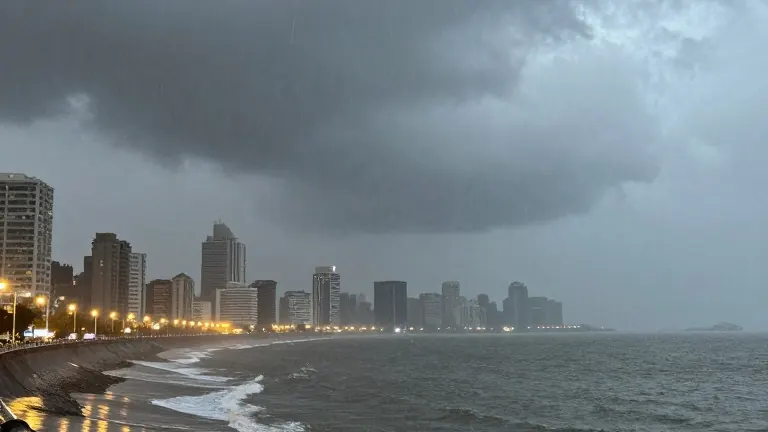
Forecasters expect the West Coast to see warmer temperatures and higher precipitation, particularly in Southern California. A Kelvin wave arrived in early October, raising sea levels and contributing to coastal flooding associated with Tropical Storm Rachel. Dillon Amaya, an assistant professor at North Carolina State University, explained that these waves do not cause flooding on their own but increase the likelihood. Another wave is currently moving between Los Angeles and San Francisco, with more expected through early winter.
In the Pacific Northwest, temperatures will rise, but precipitation may fall below average. This combination could result in a smaller snowpack, which is critical for sustaining reservoirs. The region is already experiencing multi-year drought conditions that increase wildfire risks. However, Jon Gottschalck, a meteorologist at NOAA, expects dry conditions in western Oregon and Western Washington to improve, potentially ending the drought.
The Southwest is already facing wetter-than-average conditions, with severe flooding in the Four Corners region forcing evacuations in late October. Daniel Swain, a climate scientist at the University of California, linked the heavy rainfall to moisture from record-warm West Coast waters. He cautioned that this wet winter does not resolve the long-term water crisis in the Colorado River basin, where Lake Powell and Lake Mead remain at record low levels.
The Northeast and Mid-Atlantic are forecast to see warmer temperatures and above-average precipitation, with a higher frequency of nor’easters. The South has the highest chance of above-normal precipitation, with potential snow in northern Texas. In contrast, the Midwest is expected to have a smaller snowpack due to warmer temperatures, with drought conditions persisting in Michigan, Ohio, and Indiana.